We have all probably heard of "astronomy", but there is also a discipline related to water called "hydrology." The Hydrology Unit of the WSD is responsible for carrying out estimates of stream and catchwater flows, reservoir overflows and the collection of local hydrological data to facilitate the analysis of the city’s water resources.
The WSD’s Hydrology Unit was initially established to identify representative natural streams and catchwaters within the water gathering grounds for the installation of hydrological monitoring stations. The hydrological monitoring stations are generally located in remote areas. Despite having a well-established road network, the Hydrology team encounters challenges in travelling to remote areas for inspection and maintenance duties. One can envision that the work was even more challenging in Hong Kong's early days.
There are currently about 20 hydrological monitoring stations located in the water gathering grounds of Hong Kong Island, Kowloon, the New Territories and the outlying islands. The Hydrology Unit has installed instruments at major impounding reservoirs to measure the water level and calculate each reservoir’s overflow. The water gathering grounds in Hong Kong are extensive collection of hydrological data that can facilitate analysis of the local water resource situation and support formulation of relevant water resource policies.
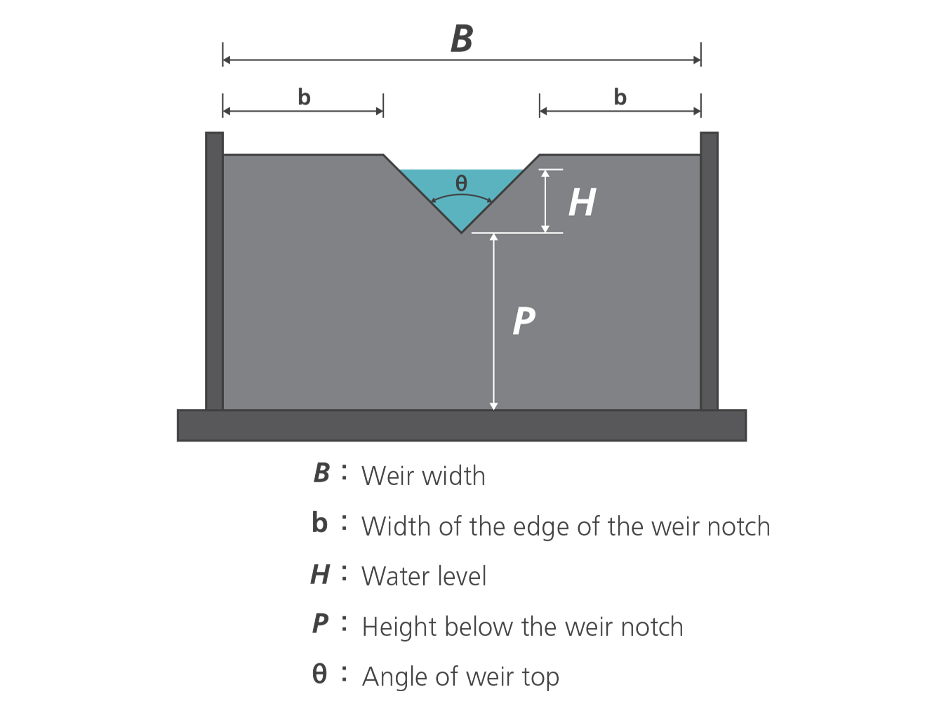
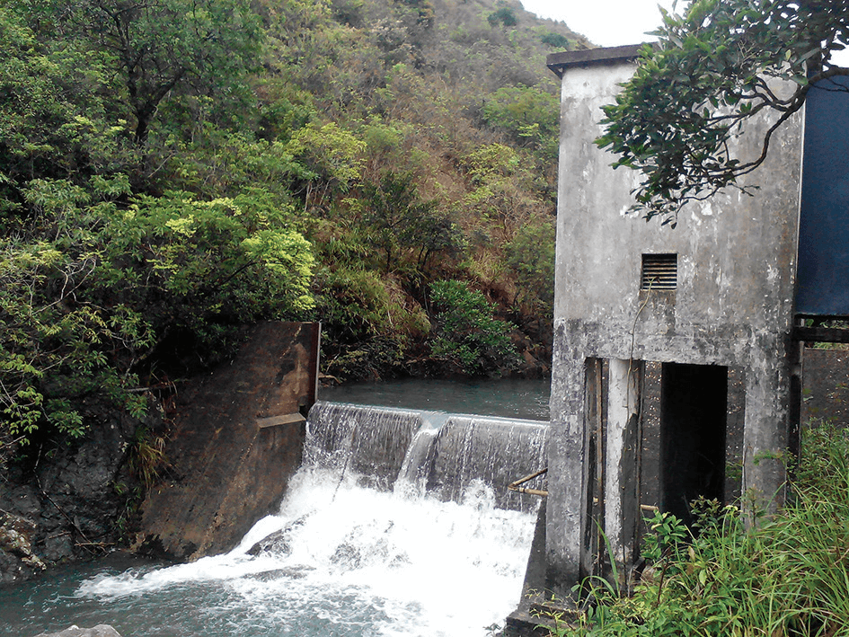
Hydrological monitoring stations on major watercourses are typically installed with a water retaining pond and a small recorder cabin to store equipment. The water retaining ponds are usually constructed of concrete with a v-notch weir that serves as the outlet for effective measurement to the water levels of the pond and estimation of the stream flow. As the stream flows through the pond, an intake pipe within it diverts some of the water to a well in the adjacent recorder cabin; the height of the float in the well is used to measure the water levels of the pond and hence the stream flow is estimated. Data loggers and modem are placed within the recorder cabin and connected to the float so as to facilitate recording and transmitting water level data. Hydrological monitoring stations at the reservoirs have a similar configuration as those stations located at watercourses, except that they do not have a water retaining pond before the weir.
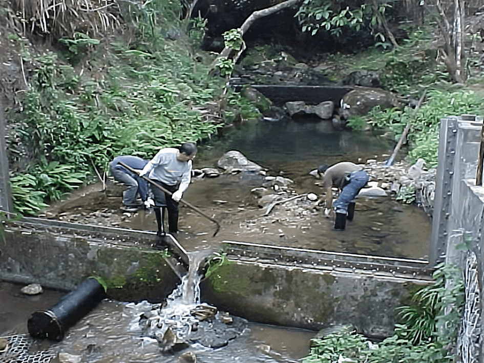
The figure below shows the v-notch weir of the pond of a hydrological monitoring station. When the water level of the pond is higher than the water level at the v-notch weir, the water level will be measured using the nearby water level indicator. The Hydrology team will also use tree cutting shears and shovels to regularly clear the weir and the water retaining pond to prevent accumulation of sediment and tree branches that may affect data collection.